Oregon Dunes National Recreation Area:
Fifty-Five Miles of Dunes
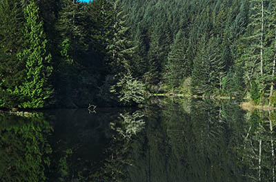
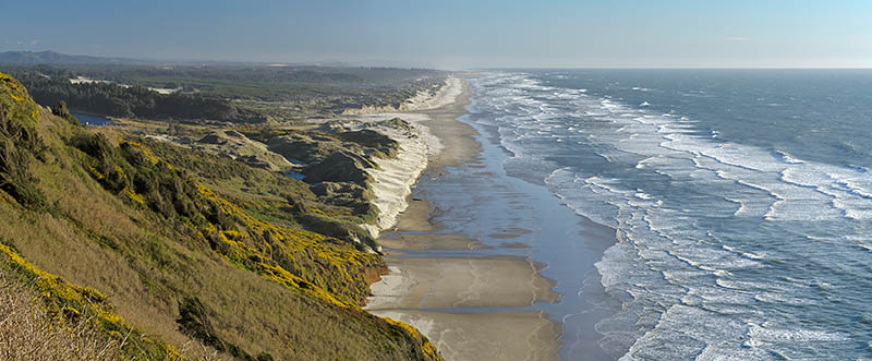
![Natural lakes form between the dunes, as viewed from the cliffs that rise above the Oregon Dunes' northern end. [Ask for 276.486]](./imgstore/276.486.jpg)
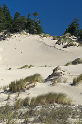
At 55 miles this is the longest dune field in Oregon — maybe the longest on America's Pacific coast. Dunes can reach 500 feet in height and can drift as far as two miles inland. Marshes and lakes occupy the spaces between the dunes, and forests struggle for existence on the most landward. The Oregon Dunes National Recreation Area, part of the Siuslaw National Forest, occupies 40 miles of this field.
|
The dune field rests on a gently sloping shelf of sandstone. It gets its sand from various sources. Most of it is eroded from the Coast Range, itself made of sand deposited about 50 million years ago with a fair amount of volcanic stuff stirred in. A great deal of the remainder is washed up from the ocean bottom by low-energy currents that run eastward along the ocean floor. The rest of it comes from cliff landslides. |
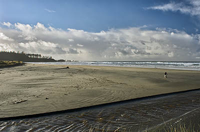
 Sand dunes in the Oregon Dunes field, just north of Coos Bay. This is on a Weyerhaeuser tract open to the public. |
![OR: South Coast Region, Douglas County, Pacific Coast, Oregon Dunes NRA, Oregon Dunes North, Sparrow Park Road, Beach view; fog starting to form. [Ask for #276.A76.]](./imgstore/276.A76.jpg) Sand dunes at the end of Sparrow Park Road, in the Oregon Dunes National Recreation Area, near Reedsport. |
Ocean currents keep the sand in place. These currents are further offshore and stronger than the one that washes sand inland. They can carry a great deal of sand — but they run from north to south in the summer and from south to north in the winter, so they cancel each other out. Winds do the same, and from the same directions. The current dune fields haven't changed much since around 4000 BC. |
|
Congress created the 31,000 acre Oregon Dunes National Recreation Area in 1972, and put management in the hands of the Siuslaw National Forest. It's managed for a wide range of uses and recreation types, from habitat preservation to off-road vehicles. There are three areas dedicated to ORV recreation, with the best developed being between Reedsport and Coos Bay. ORV areas, however, are kepts strictly separate from areas dedicated to hiking and wildlife observation. You can find complete details at the national forest's web site. |
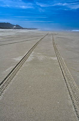 Vehicles tracks on the sand near Sparrow Park Road. Fog is rolling in. |
 Fog rolling in. Fog frequently clings to the immediate coast, even when it's clear a few hundred yards inland. |
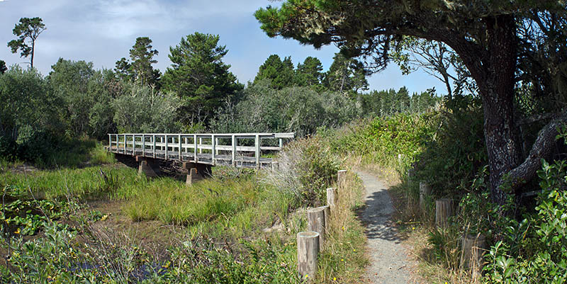
![Foot path leads over grassy dunes to the beach. [Ask for 276.461]](./imgstore/276.491.jpg) Foot path leads over grassy dunes to the beach. [Ask for 276.461] |
 Lagoon on the landward side of the dune field. US 101 follows this lagoon for much of its stretch from Coos Bay to Reedport. |
![OR: South Coast Region, Coos County, Northern Coastal Area, Oregon Dunes National Recreation Area, Horsfall Recreation Area, Bluebill Lake Trail, Footpath leads through mature dune forests [Ask for #274.975.]](./imgstore/274.975.jpg) Forests such as this one form islands, some of them large, on the landward dunes. This one is in the Horsfall area, a section near Coos Bay developed for recreation. |
 |
|
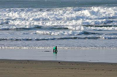 A child plays in the surf at Bastendorff Park, the southern terminus of the Oregon Dunes. |
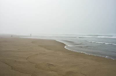 Beachcombing in the fog at Horsfall Beach. |
 The Cape Arago cliffs mark the southern end of the Oregon Dunes, at Bastendorff County Beach, just outside Coos Bay. |
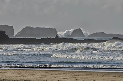 The Oregon Dunes meet the cliffs of Cape Arago. |
 |
|
|
| |
Exploring the Pacific Coast
e-mail: jim@blogPacifica.com